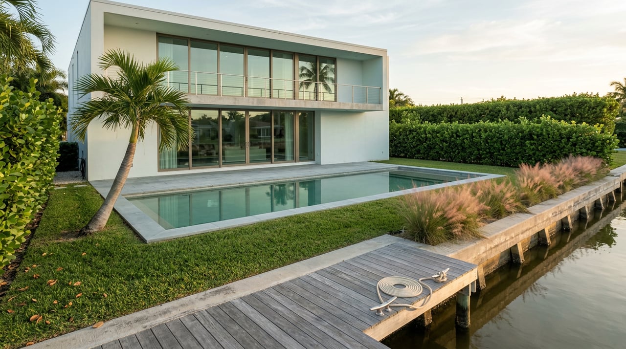
Two four-bedroom houses sit inside The Islands of Jupiter, both backing onto the same bend of the Loxahatchee River, both listed as waterfront with private docks. One is on Reach Island. The other is on Compass Island, a few hundred yards away. A buyer comparing them on price per square foot would see almost no difference. A buyer who actually plans to keep a boat would see two different properties entirely, because Reach Island clears one fixed bridge on its way to the Jupiter Inlet and Compass Island clears two.
That gap, not the median price, is the number that should be driving the comparison. And it's easy to miss right now, because everyone along this corridor is still talking about the other bridge.
The Bridge Everyone Noticed
The $122 million replacement of the US-1 bridge over the Loxahatchee River wrapped up ahead of schedule, with the Florida Department of Transportation formally accepting the finished project on December 19, 2025. The old 1958 span had a vertical clearance of 25 feet. The new one rises to 42 feet, a 17-foot jump that FDOT says will cut the number of bridge openings by 44 percent.
That's a genuinely useful upgrade if you commute across it, bike it, or wait behind it in a boat during the four-year construction stretch that started in October 2021. But here's the detail that matters for anyone shopping waterfront property: the US-1 span was never a fixed bridge. It's a drawbridge. It opened for tall boats before the rebuild and it opens for tall boats now, just less often. Making it taller reduced wait time. It did not remove a ceiling, because a ceiling that opens on request was never really a ceiling.
The bridges that actually cap what a specific dock can hold are the ones nobody mentions on the walkthrough, because they don't open for anyone.
The Bridges Nobody Mentions on the Tour
The Loxahatchee River splits into three forks before it reaches the central embayment near the Jupiter Lighthouse, and each fork carries at least one fixed span that a boat has to clear on its own, with no bridge tender to call.
| River section | Fixed bridge | Reported clearance | What it rules out |
|---|---|---|---|
| Central embayment to the inlet | Alternate A1A / State Road 811 | Reported at 20 to 25 feet depending on the source, fixed | Tall-mast sailboats, but clears most sportfish boats and tuna towers |
| North Fork, upper reaches | Tequesta Drive | Roughly 14 feet, fixed | Most sailboats and taller flybridge cruisers |
| Northwest Fork, lower reaches | SE Island Way | Roughly 12 feet, fixed | Larger flybridge and tower boats; favors center consoles and smaller cruisers |
| Southwest Fork, near its mouth | A cluster beginning at Loxahatchee River Road | Multiple fixed spans, described as the most restricted stretch on the river | Generally limits this fork to smaller craft |
Compare that to the truly movable crossings on this same corridor, Indiantown Road and Donald Ross Road, both bascule drawbridges holding roughly 35 feet closed and opening on the hour and half hour. Like the new US-1 span, those are inconveniences with a schedule, not permanent limits. The fixed bridges in the table above are the opposite. They don't care what time it is or how patient you are.
Same River, Different Ceiling, Block to Block
This is where the river stops behaving like one market and starts behaving like ten small ones stacked next to each other.
Reach Island, on the southern side of The Islands of Jupiter, only has to clear the Alternate A1A bridge to reach the inlet, so outriggers and tuna towers are rarely an issue. Compass Island, just to the north within the same community, has to clear both the SE Island Way bridge and Alternate A1A, which is exactly why larger sportfish boats have more trouble there. Via Rio, tucked into the Southwest Fork off Center Street, is also affected by the fixed bridges on that fork. Meanwhile, homes in Jupiter River Estates, a short distance away, are commonly limited by that same Island Way bridge. Farther up Loxahatchee River Road, past estate neighborhoods like Pennock Point, there's only the one fixed A1A crossing between the dock and the ocean, which is part of why that stretch supports some of the largest custom docks and lifts on the river.
None of this shows up in a comp sheet built on price per square foot. It shows up when a buyer already owns a 42-foot sportfish boat and finds out, after falling for the house, that the dock behind it can't clear the bridge between the house and open water.
What a Dock Is Actually Worth
Along this stretch of coast, boat docks with lifts in Jupiter condo communities can add well into six figures to a purchase price, sometimes as much as $250,000 above a comparable unit without one. That premium isn't paying for a water view. Plenty of non-dock units have water views. It's paying for vessel capacity, and vessel capacity is set by the lowest fixed bridge standing between that dock and blue water.
That's also why some of the highest-value docks on this corridor sit in communities built around a marina rather than a residential canal. Admirals Cove's marina connects to the ocean through the Jupiter Inlet with room for large yachts. Jonathan's Landing's marina holds deeded slips for vessels from 19 feet up to 100 feet, bought and sold as real property in their own right. Frenchman's Creek gives waterfront owners a private dock with access to the Intracoastal and Sailfish Alley. New construction on the river increasingly markets "no fixed bridges" as the headline amenity, ahead of square footage or finishes, because a dock with zero bridges between it and the Atlantic is a genuinely different asset than a dock with even one low fixed span in the way.
The Same Math Is Playing Out From Jupiter to Stuart
This pattern isn't unique to the Loxahatchee. In August 2026, the City of Stuart secured a $79 million federal grant to replace the century-old St. Lucie River Railroad Bridge, part of a larger $5.3 billion national rail infrastructure round. The new structure will raise vertical clearance from just 6.5 feet to about 17.75 feet when closed, and widen horizontal clearance from 50 feet to roughly 90 feet.
That's a real improvement for boaters on the Okeechobee Waterway. It's also a reminder of how this works across the whole corridor: bridges get upgraded one crossing at a time, and even a dramatic percentage increase can leave a span far short of clearing anything but smaller craft. A bridge going from 6.5 feet to nearly 18 feet is a huge win on paper. It still won't pass a sailboat or a flybridge cruiser. The lesson for buyers from Jupiter down through Southern Martin County is the same one the Loxahatchee teaches: read the specific bridges on the specific route to the ocean, not the headline about the bridge that made the news.
Questions Worth Asking Before You Fall for the View
A few things are worth confirming before a waterfront showing turns into an offer:
- Which named bridges, in order, sit between this exact dock and open water, and are they fixed or do they open on request?
- Is the posted clearance measured at mean high water, and what does that number look like at a lower tide, given that tide swings of two to three feet are typical along this coast?
- Is the dock or slip deeded to the property, assigned by an association, or leased, and does that status transfer cleanly at closing?
- Has the dock, lift, or seawall been permitted, and is any of that paperwork still pending with the town or county?
A seller who can answer these without hesitation is showing you a property that's ready for a real transaction, not just a nice photo.
A Few Straight Answers
Does the taller US-1 bridge raise home values upstream on the Loxahatchee? It should ease daily boat traffic and reduce how often anyone waits on an opening, which is a real quality of life improvement. It doesn't change what a specific dock can hold, because the fixed bridges on the river's forks were never affected by this project.
Is Intracoastal frontage automatically better than river frontage for a boat owner? Not automatically. Some Intracoastal-adjacent communities still sit behind one or more fixed bridges depending on which fork or canal they're on, while some river addresses closer to the central embayment clear only the one A1A crossing. The specific bridge count matters more than which body of water is named on the listing.
Will more of these low fixed bridges eventually get replaced? Some will, on their own timelines, the way US-1 has been and the St. Lucie River Railroad Bridge will be. Each project tends to be evaluated and funded independently, so a buyer should treat today's bridge clearances as the operating reality rather than assume an upgrade is coming to a specific span.
If you're comparing waterfront property along this corridor and want someone who can walk the bridge math with you before you fall for a view, the team at Premier Properties of South Florida has spent years learning exactly which docks on exactly which stretches of water can hold the boat you actually own. Schedule a consultation and we'll help you find a property where the water works as hard as the house does.
This article is general information, not legal, tax or financial advice. Consult a qualified professional about your situation.